Nature & Agriculture
Tukad Melangit Valley & Rice Field Landscape
0.0(0 reviews)
Nyalian
Overview
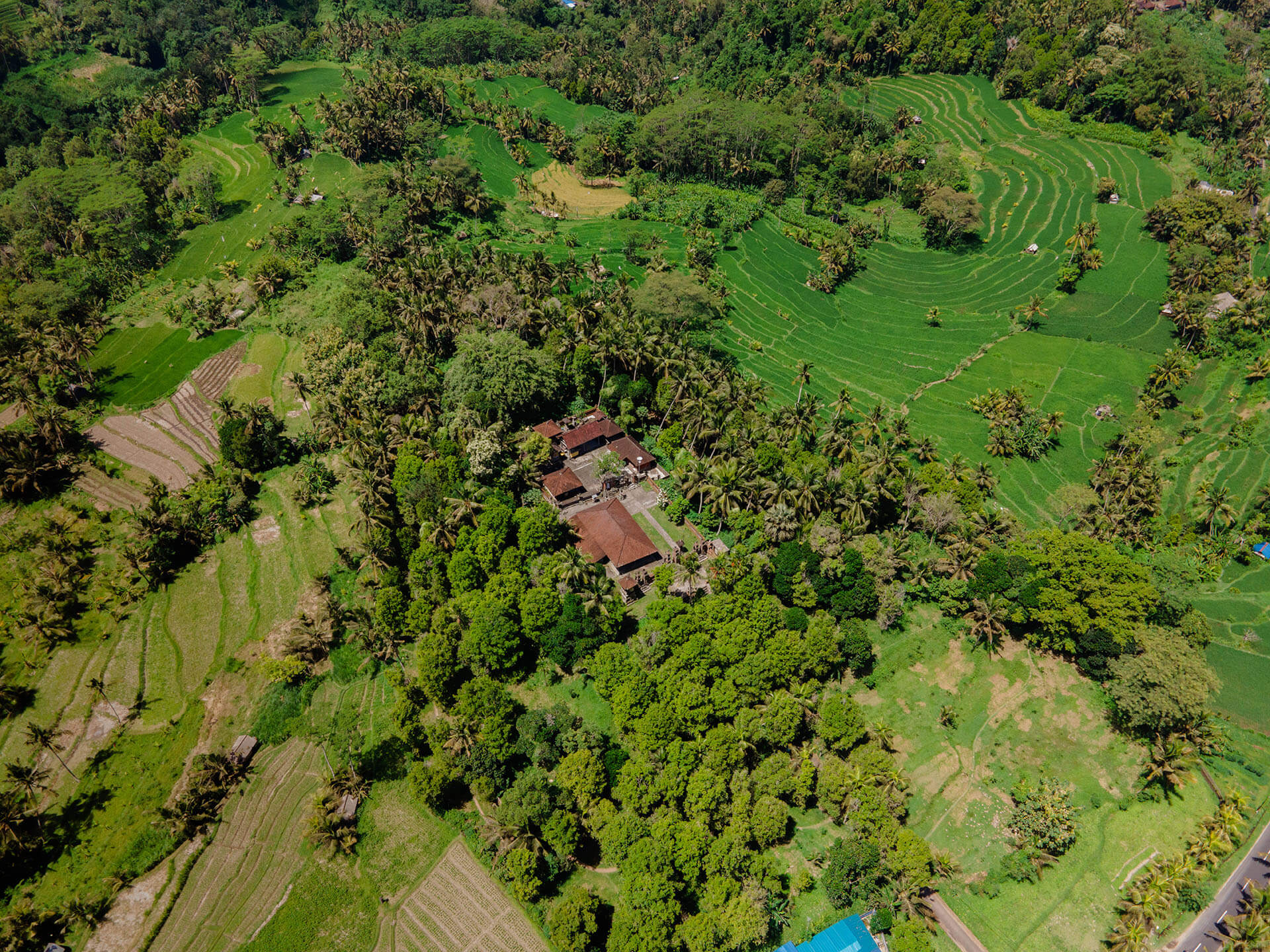
Wander working rice terraces and river valley scenery that locals still call home.
Description
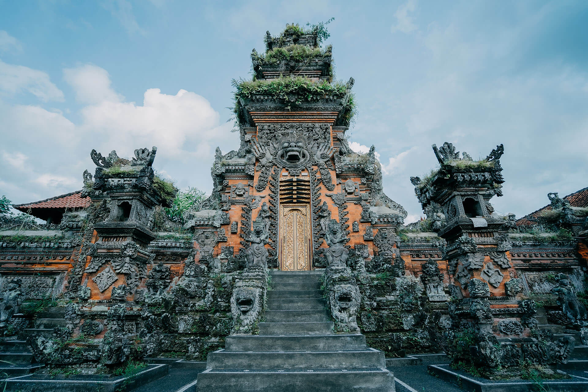
The Tukad Melangit river valley is the geographic and visual thread connecting Nyalian's other destinations — its cliffs host Pura Tirta Tadah Uwug, its ravine forest holds Pura Tirta Harum, and its surrounding terrain is lined with the working rice paddies and farmland that reflect the village's primary livelihood. The valley has shaped Nyalian's settlement pattern since the village's founding narrative, in which Ida Duagung Putu is described as crossing this valley and river to reach the site that became Nyalian. Unlike a curated scenic viewpoint, this landscape represents Nyalian's actual, ongoing agrarian economy — agriculture and animal husbandry remain the primary livelihood for most village households. This is where people work, not a constructed backdrop. A slower-paced, self-directed or guided walking experience through rice terrace paths and valley-edge terrain, connecting naturally to visits at Pura Tirta Tadah Uwug and Pura Tirta Harum given their shared geography.
Facilities
Walking Paths
Photo Spots
Local Guide Available
Gallery
Location
Related Destinations
Explore more places in the same category